Join us in exploring geoscience, remote sensing, and satellite imaging at the University of Texas at Arlington
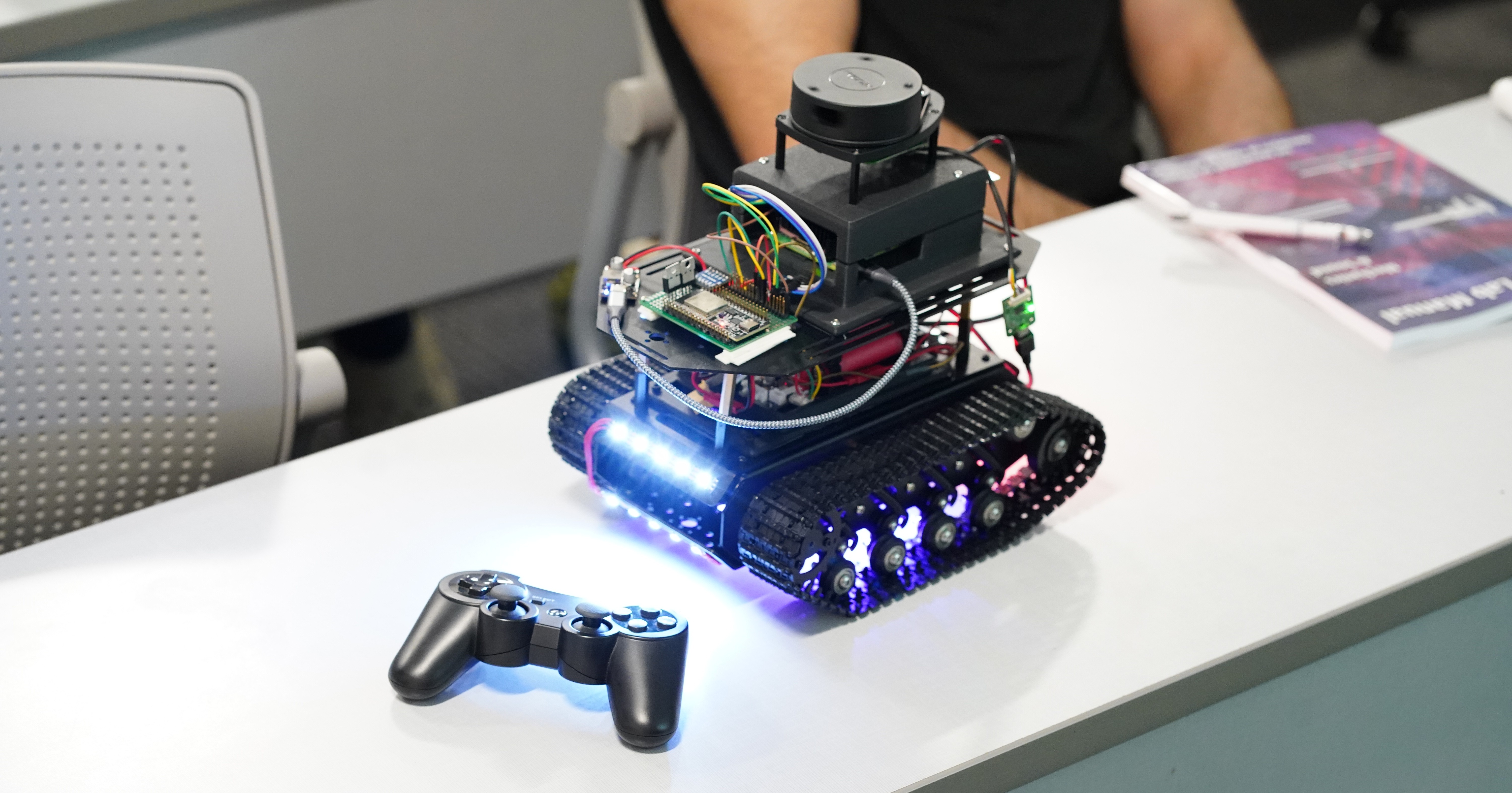
Developing advanced autonomous rovers with LiDAR, GPS integration, and real-time data processing for mapping and navigation.
Utilizing satellite imagery and geospatial technologies to analyze Earth's ecosystems and environmental changes.
Participating in NASA challenges to design innovative lunar landing systems and aviation technologies for the future.
Competing at regional and national levels, including our 3rd place finish at MetroCon 2025 IEEE-GRSS R5 Competition.
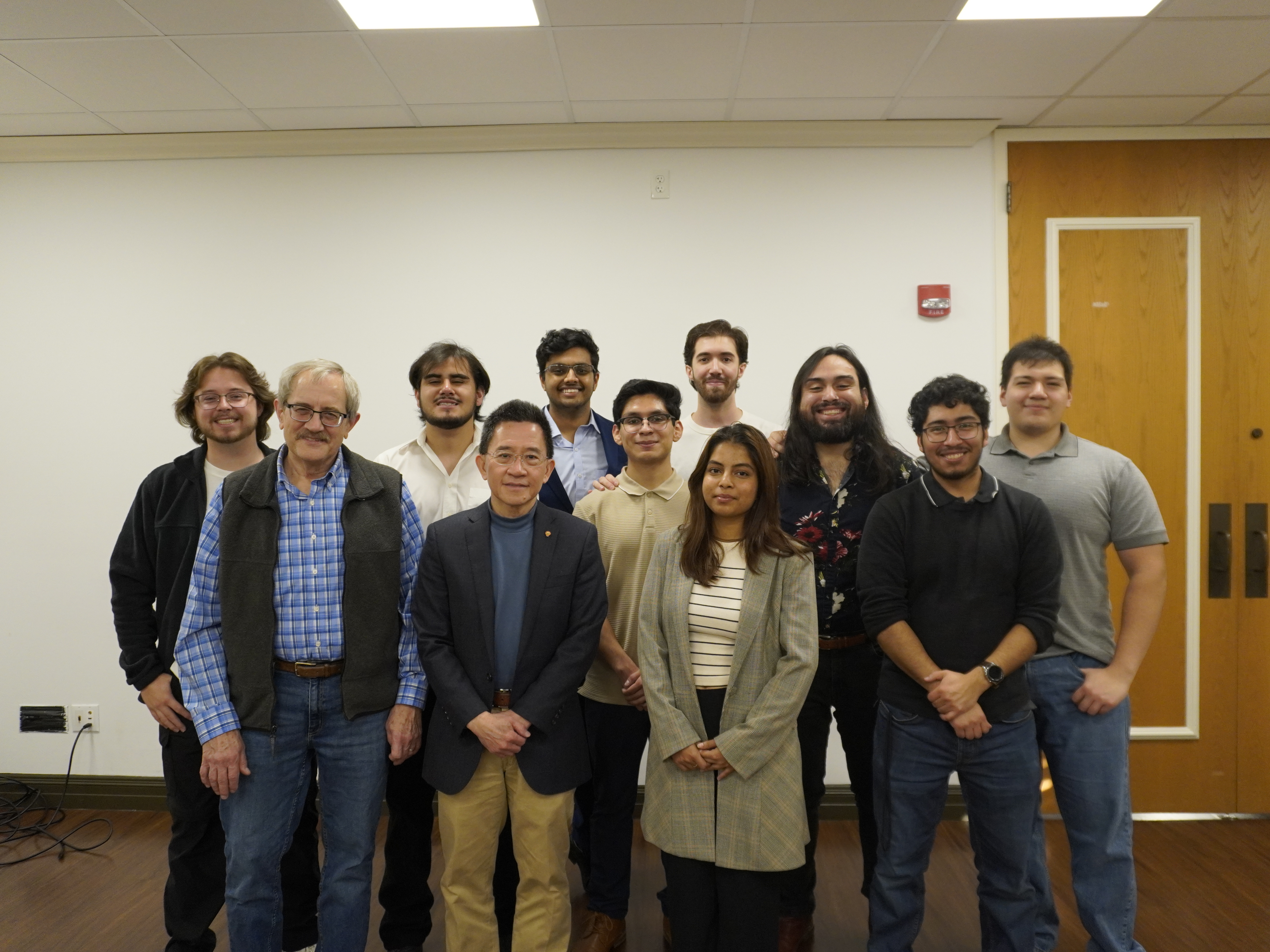
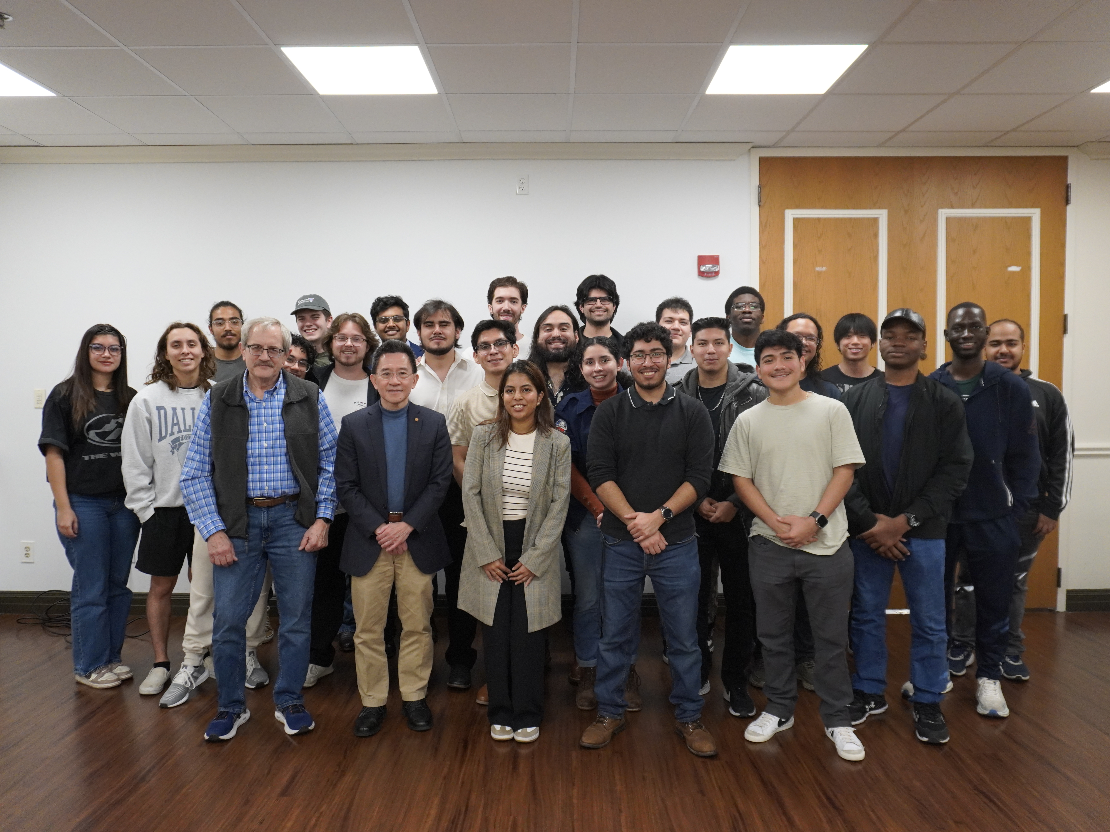
Multi-disciplinary teams working together across software, mechanical, electrical, and aerospace engineering.
Hands-on experience with cutting-edge technologies, professional development, and networking opportunities.
Active Projects
Team Members
GRSS Student Branch Chapter in the USA
Raised in Funding